
A history of Forsbrook
Follow Forsbrook from its Domesday entry to the village square, the coming of the railway and the growth of neighbouring Blythe Bridge.
Stand at the junction of Cheadle Road and Chapel Street and you are looking along two of the routes that shaped Forsbrook. The buildings have changed and the brook that once ran through the centre is hidden. The meeting of the roads is still a good place to start a history of the village.
The village in six dates
- 1086. Forsbrook appears in the Domesday survey of Staffordshire. The entry records land for one plough and names its holders before and after the Norman Conquest.
- 1327. A tax record counts ten taxpayers in the hamlet. Dependants and people who owed no tax sit outside that figure.
- 1775. William Yates’s county map shows roads converging on Forsbrook and marks Blythe Marsh further south. The pattern helps identify the separate settlements on later maps.
- 1848–49. The North Staffordshire Railway reached Blythe Bridge in 1848. The following January, St Peter’s Church was consecrated for the communities in and around Forsbrook.
- 1921. A memorial to local people who died in the First World War was unveiled beside St Peter’s. It bears the names of both Forsbrook and Blythe Bridge.
- 1932. The wooden footbridge in the centre of Forsbrook disappeared when the brook was widened and culverted. Photographs from before the work show its place in village life.
Farms around the crossroads
Caverswall Old Road, Chapel Street, Dilhorne Road and Draycott Old Road feed into the historic core around Cheadle Road. Look at the district’s historic environment assessment and the farms are as important as the cottages. Farm buildings clustered around yards close to the junctions, with the fields behind them. Development later filled some gaps and absorbed some outbuildings into houses.
One farm survives in unusual detail in the public record. At Forsbrook Hall Farmhouse, the national list describes the stonework of a seventeenth-century house, including an inscription over its entrance. A few minutes with that description can tell you more about the building than the name “Hall” alone.
Three names on the map
Forsbrook grew around its roads and brook. Blythe Bridge grew at a crossing of the River Blithe on the Uttoxeter road. Blythe Marsh lay further east on the same road. Houses built between them in the twentieth century make those distinctions harder to see today. They matter when searching for an address, a school photograph or a family’s church.
For centuries, people in Forsbrook belonged to the church parish of Dilhorne. The building of St Peter’s brought a church closer to home. Its choir photographs, the memorial outside and the separate records of the churchyard and parish cemetery each preserve different parts of local lives.
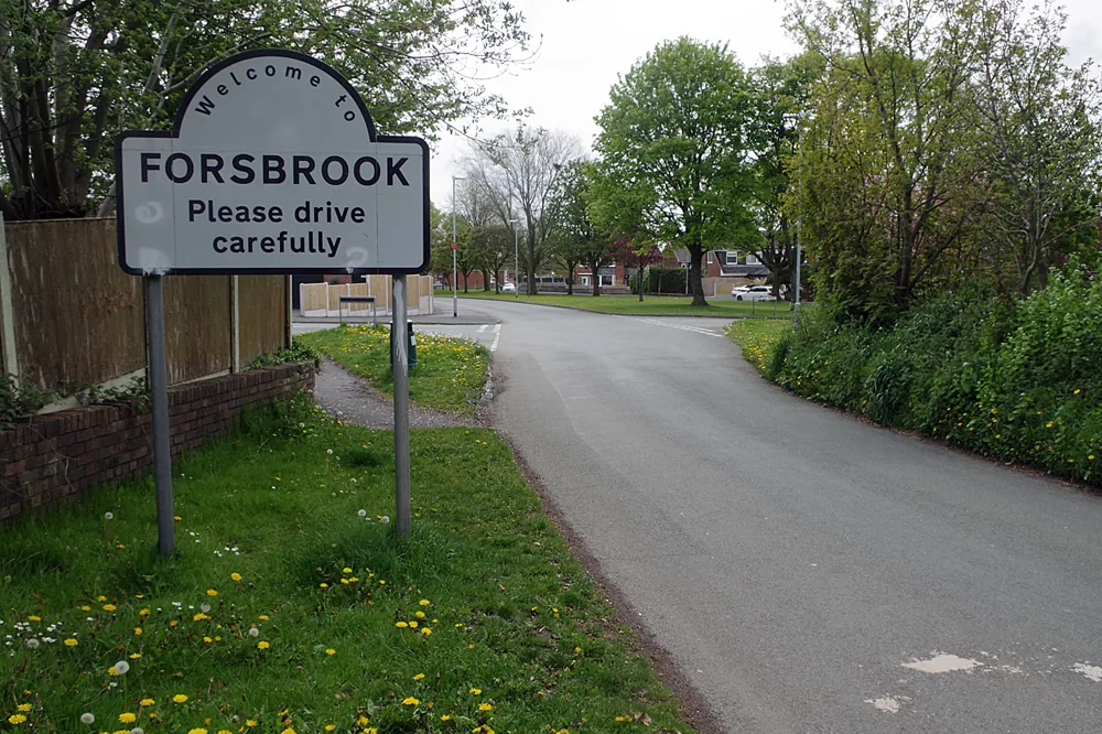
The approach to Forsbrook in May 2021. Photograph by Stephen McKay. Original and licence.
The brook beneath the square
A postcard in Staffordshire Past Track shows people gathered beside the bridge near the Butchers Arms. Another view, dated 1913, records the space left by the removal of a cottage in the middle of the Square. Look from one photograph to the next and the familiar road junction becomes a place where people crossed water, stopped to talk and made room for new uses.
Read where the brook went for the story of the crossing, or use the old photographs guide to find and compare the originals.
Sources and further reading
- Historic Environment Character Assessment, Appendix 3, section 1.3 (PDF) — checked 2026-11-08
- Open Domesday, Forsbrook in the hundred of Totmonslow — checked 2026-11-08
- Staffordshire Past Track, 1918 choir portrait and building history — checked 2026-11-08
- Historic England, Forsbrook and Blythe Bridge War Memorial, list entry 1462194 — checked 2026-11-08
- Staffordshire Past Track, postcard of the Square in 1913 — checked 2026-11-08
- Staffordshire Past Track, the Roebuck Inn and wooden footbridge — checked 2026-11-08