
Where did the brook in Forsbrook go?
Old postcards show a wooden footbridge, a cottage in the Square and a woman who became a local councillor. Together they put the water back into the village scene.
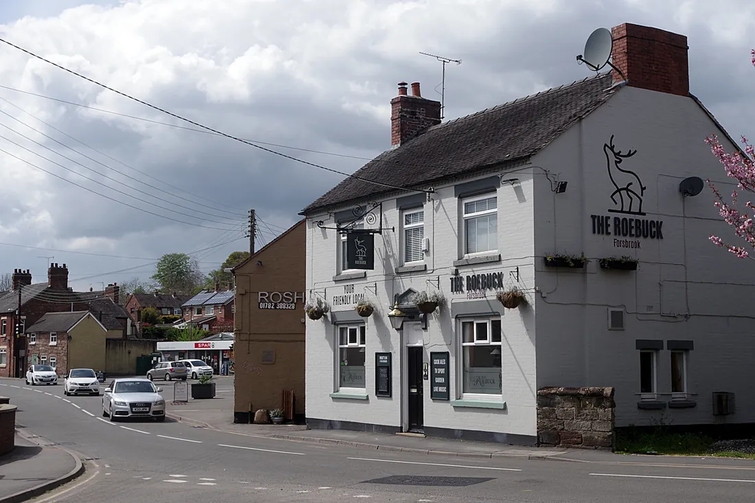
A photograph of the Roebuck Inn dated 1900 contains a clue to a piece of Forsbrook that has disappeared from view. Look for the wooden footbridge. It let people cross the village brook on foot. In 1932 the brook was widened and culverted, and the bridge was replaced. Water that had once helped people find their way around the centre now passed through a covered channel.
Begin at the inns
The photograph is one of several that the Blythe Bridge and Forsbrook Local Historical Society contributed to Staffordshire Past Track. Open the catalogue view of the Roebuck alongside the postcard of the bridge by the Butchers Arms. The first provides the explanation for the missing crossing. The second puts people beside it and changes the scale of the scene. What looks like a small piece of street furniture in one view had room for a group to gather in the other.
One of the people gathered there has a name. The catalogue identifies Freda Hilditch, née Dean, who went on to be a local councillor and school governor. The card is dated approximately 1900 to 1920. That range is worth keeping with the identification. It is tempting to give a picture a single year once someone in it is known, but the archive has preserved a name without narrowing the date.
Find the missing cottage
A third postcard shows the Square in 1913. Start at the far left, where the museum caption identifies the Grindley Memorial Hall. Then look back towards the middle. The open space is itself evidence of a change. A cottage that once stood in the centre of the Square had already been demolished when the photograph was taken.
The demolition and the covering of the brook were therefore separate events. By 1913, the cottage had gone. The work on the brook still lay nearly two decades ahead. It is easy to roll both changes into one story about a village making room for traffic. The dates give us a more interesting picture of people using a square that changed a little at a time.
Look along Cheadle Road
For another angle, turn to the Potteries Museum’s photograph by William Blake, a photographer from Longton. He stood close to the junction with Chapel Street and looked south-west towards Blythe Bridge. Knowing which way the photographer faced is more helpful than starting with the nearest shopfront. The junction supplies a fixed point even where the names over the doors have changed.
You can put the views in order without leaving home. On a rough sketch, mark the two inns, the junction and the site of the bridge. Use a different colour for the cottage, which you know only through the caption describing its removal. Beside each mark, put the photograph’s catalogue number. Someone else can then follow the same trail and check where your reading of a picture differs from theirs.
The next time you pass through the centre of Forsbrook, think of Freda Dean beside the bridge. The brook survives in the village name. Thanks to a caption kept with a postcard, one of its neighbours does too.
Sources and further reading
- Staffordshire Past Track, the Roebuck Inn and wooden footbridge — checked 2026-11-08
- Staffordshire Past Track, the bridge and the Butchers Arms — checked 2026-11-08
- Staffordshire Past Track, postcard of the Square in 1913 — checked 2026-11-08
- The Potteries Museum & Art Gallery, William Blake’s view from near Chapel Street — checked 2026-11-08